Is Access as Simple as It Looks?
The parcel sits close to a road, but mapped proximity does not by itself establish frontage or legal access.
View this finding →Where Does Water Shape the Site?
Mapped wetlands, streams, and water-related screening areas can affect where closer environmental and regulatory review should be focused.
View this finding →Where Does Terrain Become a Concern?
GIS can show where steeper ground may influence grading, access, erosion control, construction, or site layout.
View this finding →What Do the Published Soils Suggest?
Source-attributed soil interpretations can reveal areas where site-specific evaluation may deserve greater attention.
View this finding →What Happens When the Findings Overlap?
Bringing multiple conditions together reveals relationships that are much harder to see when each source is reviewed separately.
View this finding →How Is the Area Planned to Change?
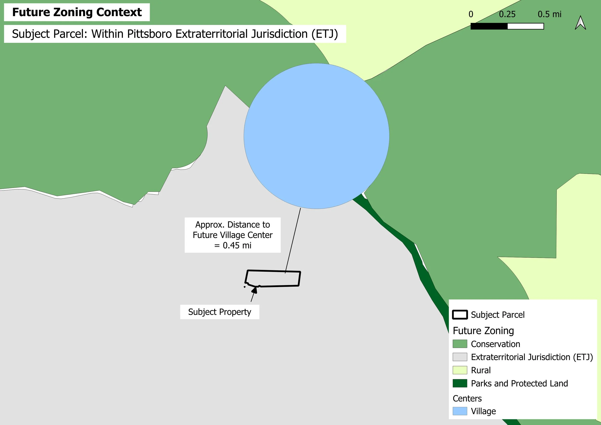
Future land-use and planning designations can reveal how the parcel relates to surrounding growth, conservation, and longer-term planning.
View this finding →